In high-mountain areas around the world, climate is changing and it's changing fast. In the Tibetan Plateau, where Dr. Feifei Pan is currently working, air temperatures have risen at a rate of ~0.29 °C per decade over the past 50 years. Research by Pan and colleagues shows that the impact on Tibetan landscapes has been dramatic (Yao et al. 2007). From 1950-1970, 53% of Tibetan glaciers retreated. From 1970-1980, that number declined to 44%, but then jumped to 90% from 1980 to 1990. The percentage of retreating glaciers was 95% from 1990 to 2005. That means just 5% of Tibetan glaciers have not retreated. These warming temperatures have also had divergent influences on Tibetan lakes. Glacier retreat and snowmelt have caused lake levels to rise in some basins, while increases in evaporation have resulted in lower lake levels in other basins where glacier coverage is less extensive (Yao et al. 2007).
Using remote sensing and numerical modeling techniques, Pan, Assistant Professor of Geography at UNT, is monitoring lake levels and investigating the factors controlling lake level variations. With colleagues and support from the Chinese Academy of Sciences, he is studying four closed-basin lakes ranging in size from 250 to 2000 km2, with associated drainage basins ranging from 2730 to 42000 km2. Like other alpine regions, the Tibetan Plateau has very few weather and stream gauging stations. This hasn't stopped Pan, however, from studying lake responses to climate change. Pan is taking a remotely-sensed look at lake levels using Landsat imagery and digital elevation model (DEM) data collected during the Shuttle Radar Topography Mission (SRTM).
Applying remotely sensed data to this and other questions (e.g., such as monitoring of river discharge), Pan is developing new tools and methods (Pan et al., 2013, Pan and Nichols 2013) that are critical in studies of global environmental change, especially in alpine areas where data often limited. For more information on Pan's research, visit http://geography.unt.edu/~fpan/
Yao T., Pan J., Lu A., Wang Y. and Yu W., 2007, Recent Glacial Retreat and Its Impact on Hydrological Processes on the Tibetan Plateau, China, and Surrounding Regions. Arctic, Antarctic, and Alpine Research, 39, 642-650.
Pan F., Liao J., Li X., and Guo H., 2013: Application of the inundation area-lake level rating curves constructed from the SRTM DEM to retrieving lake levels from satellite measured inundation areas. Computers & Geosciences, 52, 168-176.
Pan, F. and Nichols J., 2013, Remote sensing of river stage using the cross sectional inundation area - river stage relationship (IARSR) constructed from digital elevation model data. Hydrological Processes, 27, 3596-3606.
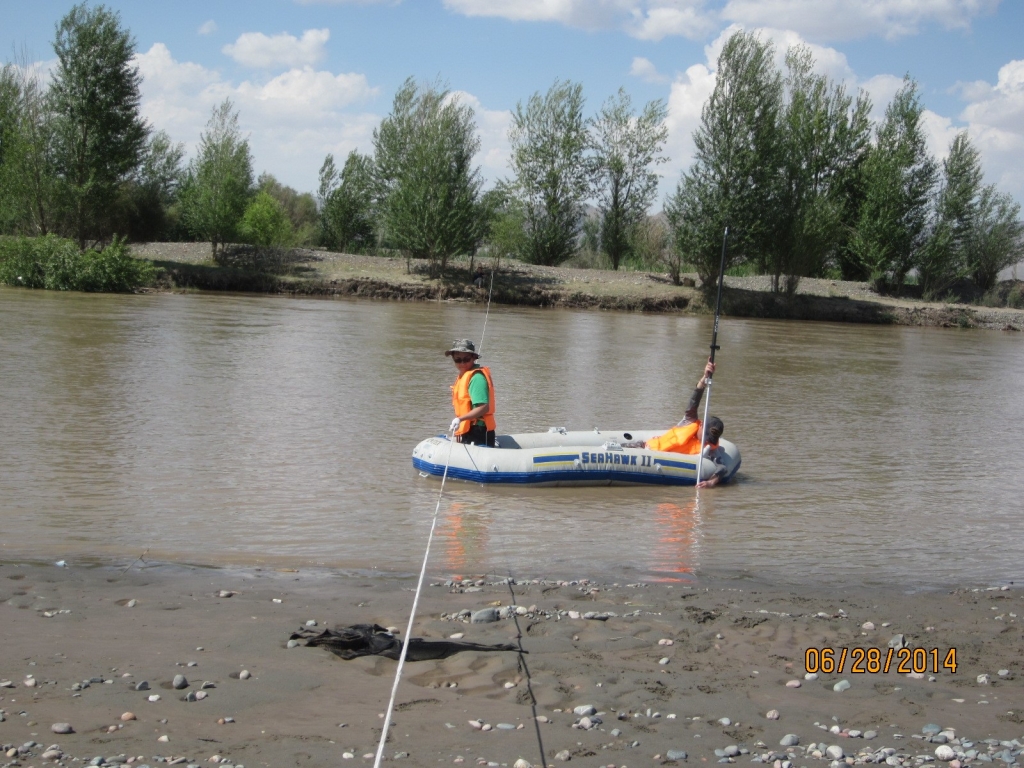
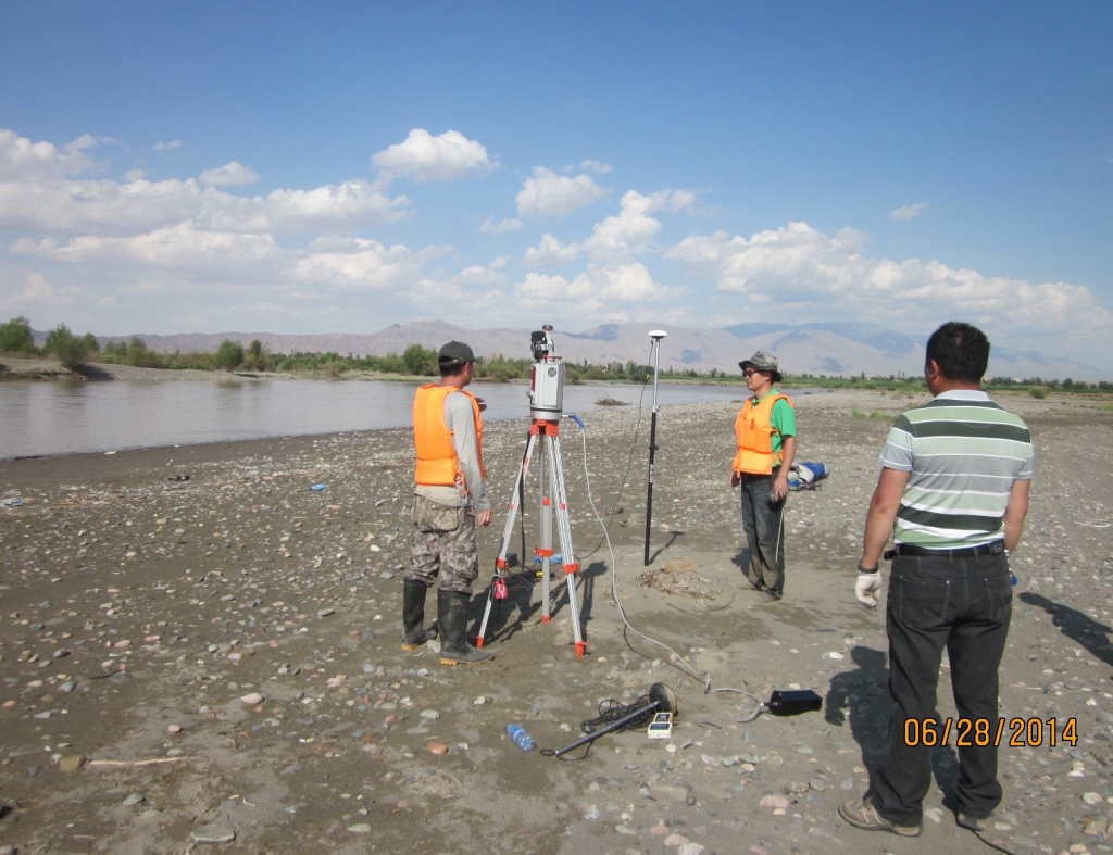
Photos: Pan's colleagues from the Chinese Academy of Sciences measuring river water depth and mapping 3-D terrain in Northwestern China for validating the new methods and tools developed by Pan.